[ what we offer ]
20. SATELLITE & DRONE IMAGING
We undertake to map your project through GPS & GIS. Get in touch with us to find out about this latest technology available for your project. We're really excited to work with you on this one, so call us with your project we will give you more details.
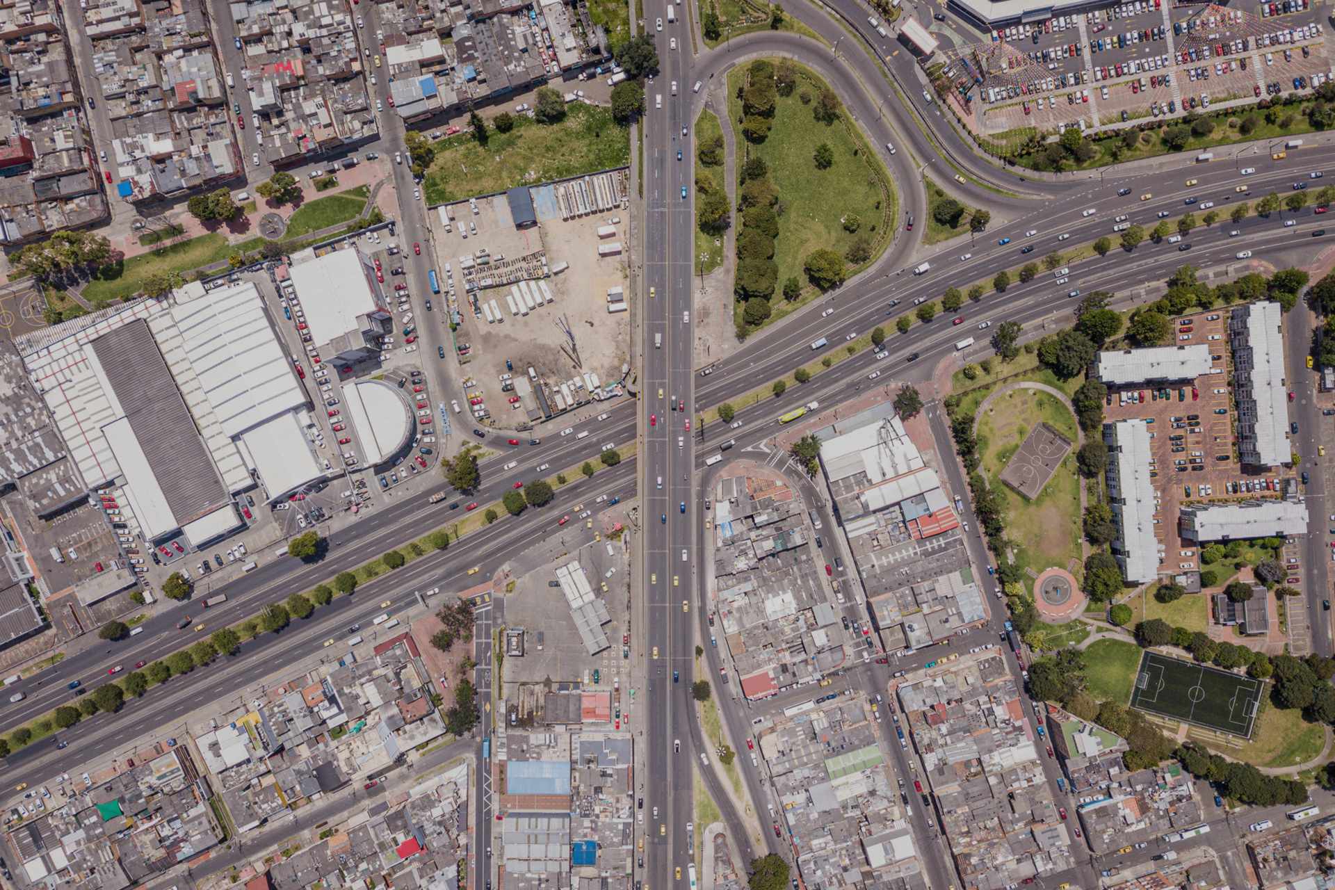
With Google & many other mapping services available for navigating the place around you, Satellite imaging provides an ideal location of the project, with precise data of the elements in the building. Drone footage helps circumvent the project site looking for alternate avenues for mapping the site. Both the services provide real time data for the stakeholders at any given point in time. Integrating this into your model makes it accessible across the globe for any service provider to find the full information which is required for them.